


The prolonged storm event could drop 1 to 3 inches of precipitation from Friday to Sunday evening for portions of the state.
DENVER — Colorado is getting a ton of rain and snow Saturday, causing road closures, as a prolonged storm event that began Friday moves through the state.
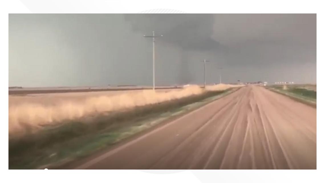
The first severe weather of the season came on Thursday, and the weekend is bringing more spring-like weather.
Rain showers and scattered storms are possible into Sunday for lower elevations of Colorado, including the Denver area, Front Range and eastern plains. At around 10:30 a.m., 9NEWS meteorologist Chris Bianchi reported snow was falling across the majority of the Denver metro area and forecast it would continue throughout most of Saturday.
Bianchi said that the heaviest precipitation will end between 5 p.m. and 7 p.m. Saturday evening, leaving some lingering showers and flurries through the night.
The storm could drop 1 to 3 inches of precipitation from Friday to Sunday evening for portions of the state. Denver could get more than 2 inches of rain this weekend, which would put Denver into a Top 10 wettest April on record.
Snow showers are forecasted for Colorado’s higher elevations with significant snow accumulations possible. A Winter Weather Advisory and a Winter Storm Watch have been issued for Friday night through early Sunday morning with up to 2 feet of possible above 8,000 feet in areas including Rocky Mountain National Park, the Medicine Bow Range, Summit County, Mosquito Range, the Indian Peaks and Front Range foothills.
LATEST FORECAST: Rain and snow continues into Sunday morning
Road conditions
Around 7:30 a.m., the Colorado Department of Transportation (CDOT) said eastbound lanes of Interstate 70 were closed due to safety concerns between East Frisco and Loveland Pass (US 6). As of 9:30 a.m. lanes were back open.
Around noon CDOT said eastbound lanes on I-70 were closed again between Loveland Pass and Exit 218 (Herman Gulch) due to a crash. Lanes were back open by 2:15 p.m.
Eastbound lanes of Loveland Pass were also closed between I-70 and Mile Point 222 as of 6 a.m., and those lanes were back open as of 10 a.m.
Motorists can visit COtrip.org, the COtrip Planner app or call 511 for the latest road conditions and updated information about highway closures.
Special Weather Statements were issued Friday evening for much of the metro area including Denver, Thornton, Arvada, Westminster, Lakewood and Littleton calling for penny-sized hail and 40 mph winds.
There was also a Severe Thunderstorm Warning for an area encompassing Denver, Lakewood and Edgewater that expired at 7 p.m. Friday. It called for quarter-sized hail and 50 mph winds. Another Severe Thunderstorm Warning for Douglas County and Jefferson County that called for possible half dollar-sized hail and 60 mph winds expired at 7:30 p.m. Friday.
By Monday and into next week, a high-pressure ridge will build into Colorado with highs warming back into the 70s in Denver.
As always, stay tuned to 9NEWS for the latest weather forecast as we update the track of this spring storm system.
SUGGESTED VIDEOS: Colorado Weather

9NEWS+
9NEWS+ has multiple live daily shows including 9NEWS Mornings, Next with Kyle Clark and 9NEWS+ Daily, an original streaming program. 9NEWS+ is where you can watch live breaking news, weather updates, and press conferences. You can also replay recent newscasts and find videos on demand of our top stories, local politics, investigations and Colorado specific features.
To download 9NEWS+ on Roku search for KUSA.
To download 9NEWS+ on Fire TV search for 9NEWS.


More Stories
Why isn’t the BJP fielding a candidate in Indian-administered Kashmir?
First person to receive a genetically modified pig kidney transplant dies nearly 2 months later
‘Toxic workplace’: Questions swirl around organization after Miss USA, Miss Teen USA resign