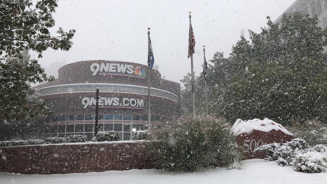
The snow that began Tuesday won’t stop until Saturday. Winter storm watches and warnings have been issued in Colorado’s mountains and Denver area.
DENVER — The snow that arrived late Tuesday has continued to fall across Colorado.
The snow is forecast to continue until Saturday along Colorado’s Front Range, foothills and the Denver metro area. The 9NEWS Weather Impact Team issued a Weather Impact Day for Friday for the significant snow storm.
Several areas of Colorado have received more than 30 inches of snow, including La Veta Pass, San Isabel and Cuchara.
Conifer, Beulah, Hillside, Pinecliffe, Westcliffe and Calhan are among the areas of Colorado that have reported more than 15 inches of new snow.
The official snow total for Denver is 6 inches, recorded at Denver International Airport. The airport saw hundreds of delays on Thursday due to the storm. Nearby Aurora has received 11 inches of snow.
The National Weather Service posted Winter Storm Warnings across Colorado’s central and eastern plains and Winter Weather Advisories for areas west and south of Denver.
Colorado Snow Totals
Here are some snow reports from around Colorado as of 10 a.m. Thursday, according to the National Weather Service:
- La Veta Pass – 34.7 inches
- San Isabel – 32.3 inches
- Cuchara – 31.4 inches
- Beulah – 26 inches
- Conifer – 20.3 inches
- Hillside – 17 inches
- Pinecliffe – 16.6 inches
- Calhan – 15.5 inches
- Westcliffe – 15.5 inches
- Del Norte – 15.2 inches
- Colorado City – 15.1 inches
- Monte Vista – 14 inches
- Black Forest – 13.6 inches
- Kassler – 13.3 inches
- Monument – 13 inches
- Yuma – 13 inches
- Ken Caryl – 13 inches
- Canon City – 12.8 inches
- Aspen Springs – 12.3 inches
- Lone Tree – 12.2 inches
- Salida – 12 inches
- Ponderosa Park – 12 inches
- Kirk – 12 inches
- Divide – 12 inches
- NE Colorado Springs – 11.7 inches
- Walsenburg – 11.6 inches
- Aurora – 11 inches
- Evergreen – 11 inches
- Limon – 11 inches
- Woodland Park – 10.2 inches
- Strasburg – 10 inches
- Trinidad – 10.1 inches
- Cripple Creek – 10 inches
- Peterson Space Force Base – 10 inches
- Security – 9.8 inches
- Alamosa – 9.6 inches
- Cherry Creek Reservoir – 9.5 inches
- Falcon – 9.5 inches
- Air Force Academy – 9.5 inches
- Burlington – 9.5 inches
- Monument – 9.5 inches
- Boulder – 9.3 inches
- Strasburg – 9 inches
- Buena Vista – 9 inches
- Molas Pass – 9 inches
- Parker – 8.5 inches
- Higbee – 8.3 inches
- Arapahoe Park – 8.1 inches
- Coal Bank Pass – 8 inches
- Camp Bird – 8 inches
- Wheat Ridge – 7.9 inches
- Arvada – 7 inches
- Kim – 7 inches
- Florissant – 7 inches
- Englewood – 7 inches
- Fountain – 7 inches
- Colorado Springs – 7 inches
- Calhan – 6.6 inches
- Bailey – 6.5 inches
- Bennett – 6.5 inches
- Denver International Airport (DIA) – 6 inches
- Yuma – 6 inches
- Broomfield – 5.4 inches
- Wray – 5 inches
- Lafayette – 5 inches
- Manitou Springs – 4.8 inches
- Creede – 4.6 inches
- Lamar – 4 inches
- Mosca – 4 inches
- Louisville – 3.8 inches
- Crowley – 3.5 inches
- Durango – 3.5 inches
- Pueblo West – 3.5 inches
- Ouray – 2.9 inches
- Leadville – 2.7 inches
- Gunnison – 2.5 inches
- Ridgway – 2.2 inches
- Lamar – 2 inches
- Penrose – 2 inches
- Rocky Ford – 2 inches
The next storm system headed to Colorado will likely bring 6 inches or more of snow on Friday and Saturday.
The steadier snow moves into the Denver area late Friday morning, with moderate-to-heavy snow likely Friday afternoon and on Friday night and into Saturday morning.
Look for a widespread 4 to 8 inches of accumulation, with 10 inches or more possible in spots as well. This looks like a significant winter storm, and likely to be one of our biggest November snowstorms in recent memory.
Colorado will finally get rid of the snow on Saturday morning and dry out and melt out starting on Saturday afternoon, with quieter weather Sunday through Tuesday of next week.
Denver forecast
- THURSDAY: Mostly cloudy with light snow through the day, high 35. Cloudy with flurries overnight, low 25.
- FRIDAY: Cloudy with heavy snow developing around noon, high 36. Mostly cloudy with snow likely overnight, low 29.
- SATURDAY: Mostly cloudy with morning snow likely before clearing late, high 45. Partly cloudy overnight, low 32.
- SUNDAY: Partly to mostly sunny and warmer, high 54. Partly cloudy overnight, low 32.
- MONDAY: Partly to mostly sunny and warmer, high 56. Partly cloudy overnight, low 34.
- TUESDAY: Clouds increase and mild, high 54. Cloudy overnight with a chance for a rain or snow shower, low 31.
Tips for removing snow from trees:
- Be aware that accumulating snow, ice, or wind could cause limbs to break and fall at any time.
- Check to make sure the tree is safe and clear of all utility lines prior to removing snow.
- Do not attempt to shake snow off a tree if a utility line is going through its branches or is within contact distance.
- If the tree is clear of utility lines, use a broom to remove as much snow as possible from branches by brushing off or gently shaking. Avoid large, rapid movement as this could cause the limb to break.
- Do not attempt to climb a tree or use a ladder to reach higher limbs.
If it appears the tree has fallen on powerlines, it’s best to leave it alone and wait for the utility to come and clear it.
SUGGESTED VIDEOS: Snow in Colorado


More Stories
A husband, son and brother: City of Golden remembers young officer killed in suspected DUI crash
DPS, Jeffco, Aurora, other metro school districts announce closures ahead of Friday snow
9Preps Game of the Week: Pomona vs. Thompson Valley